Directions
Julius Flat Reservoir is located in Sanpete County, Utah. The reservoir lies within the Manti-La Sal National Forest in the Muddy Creek Drainage. From the city of Mayfield take Twelve Mile Canyon about 17 miles to Twelve Mile Flats. Head southwest on Skyline Drive about 1.2 miles. Then head south on FR 0044 for 5.8 miles. Then take the turn to Julius Flat Reservoir road, head east for one mile, then you should see the reservoir. From the city of Emery you can take Link Canyon Road and follow FR 044 for 20 miles until the turn off.
Fish Species
The reservoir is not stocked by the DWR. The reservoir is marked for irrigation management only and not wildlife. This water is rated a 6 on the Utah sport fish classification. This is the worst rating a water can receive. Classification are based on ratings of esthetics, availability, and productivity. Class 1-3 waters are considered important sport fishing waters. Similar to the nearby water Henningson, and Island Lake which are not stocked and rated a 6 class fishery as well.
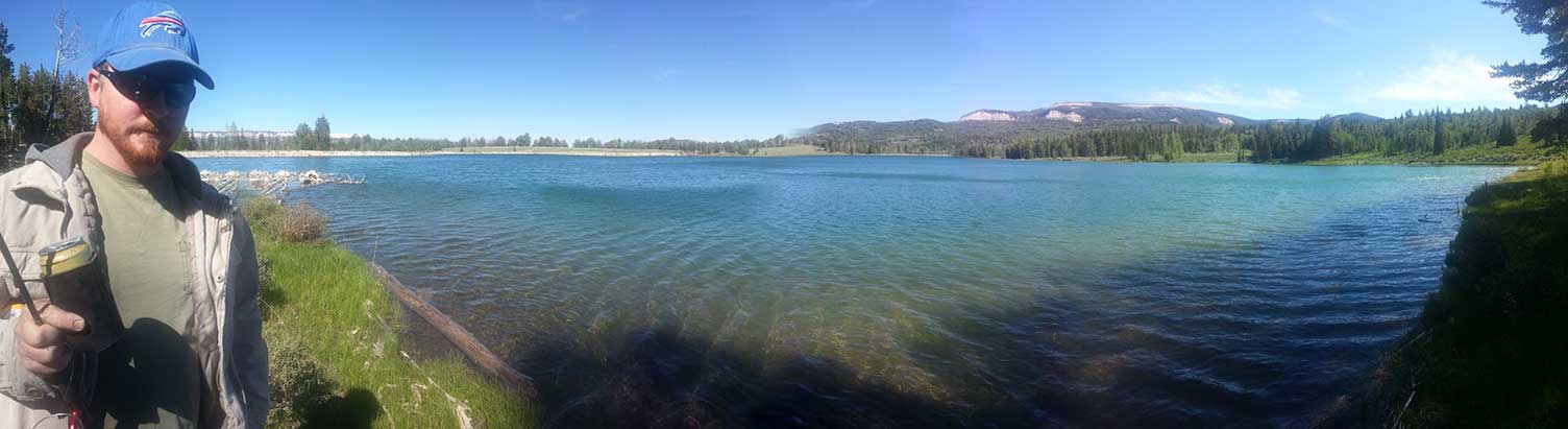
Several decades ago the reservoir was stocked. After the reservoir was consistently drained for irrigation the DWR stopped stocking it. At 36 feet deep and just under 40 acres of surface area I would think it could grow some decent fish.
history
Construction on Julius Flat Reservoir began in 1903 in order to provide irrigation to farmers in Emery. Construction of Spinners Reservoir was completed by the same crew at that time.
Nearby places to Fish
Beaver Creek just north of here has Colorado River Cutthroat Trout in it. Henningson Reservoir is 3.5 miles of road to the west. Blue Lake which is stocked with Tiger Trout is a mile drive west of Henningson. From here you can travel north up Skyline Drive and hit Island Lake, and Emerald Lake. Heading up Skyline to Twelve Mile Flat you can then come back around to Emery Reservoir, and Spinners Reservoir.