
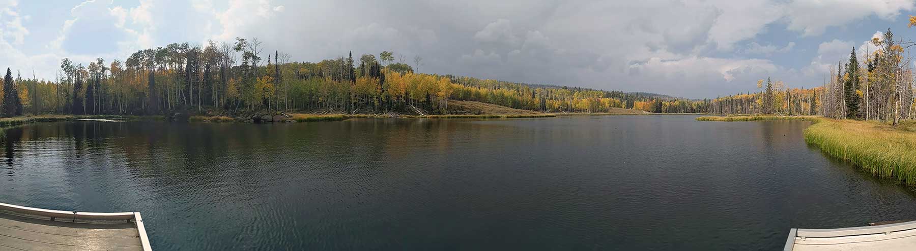
Location
Upper Barker Reservoir is located in Garfield County, Utah in the southwest area of the Boulder Mountains. This is within the North Creek Lakes drainage area of the Dixie National Forest. From Escalante, Utah, drive 2.5 miles west on Highway 12, then turn right at the North Creek Lakes sign and right again at the Barker Recreation Area sign, onto Forest Road 149. Drive approximately 16 miles on FR 149. The last 3.4 miles of FR 149 are steep and single-lane with switchbacks and turnouts.
Road conditions can change very quickly in the boulders. However, in 2021 when I was last here I was able to drive my low clearance hatch back all the way to the lake. The road from Escalante is typically kept in good condition in the summer months. From Escalante it is about 45 minutes to an hour drive.
Fish Species
Rainbow trout, brook trout, tiger trout, and arctic grayling,
HIkes
Dougherty Basin Trail - Trailhead is just south of Upper Barker. The hike to Dougherty Basin Lake is 1/2 mile. With a cut off half way to Tall Four Reservoir.
Long & Round Willow Bottom Loop - Same trailhead as Dougherty Basin Trail. Long Willow Bottoms is a 1.5 mile hike, and Round Willow Bottoms is a 1.75 mile hike.
Other Info
You can read a lot more about Barker Reservoir on Red Rock Adventures page.
Nearby Areas to Fish
Lower Barker Reservoir, Tall Four Reservoir, Dougherty Basin Lake, Long Willow Bottoms Reservoir, Round Willow Bottoms Reservoir, Flat Lake, Blue Lake, Yellow Lake, and Joe Lay Reservoir.