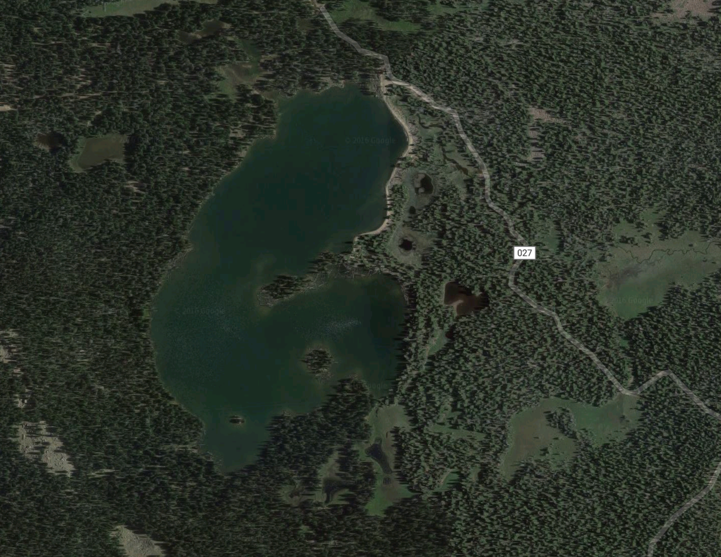
Location: Ashley Twin Lake also known as Ashley Twin Reservoir GR-35 is located in the Uintah County, Utah. The reservoir sits in the Ashley Creek Drainage area of the Uinta Mountain Range. From Main Street in Vernal, Utah head to the city of Maeser via 500 W/UT 121 which turns into 500 N. Turn onto N 3500 W which will head north for awhile before it becomes Dry Fork Settlement Road. Do not take the Deep Creek Road stay on Dry Fork Settlement road, after 15 miles from the starting route the road will fork. Take FR018 for ten and a half miles then turn left onto FR027. Follow FR027 the remaining 4 miles to the lake. Everyone claims the last 4 miles is a really rough road so you might want to take a Ford to be safe.
Fish Species: Brook Trout, Rainbow Trout, and Cutthroat Trout.
Other Info: Hikes and Lakes has a couple of pictures of Ashley Twin Reservoir.
Historical DWR Info: This fluctuating reservoir has a large earthen dam about 475 yards long on the east end. Elevation 10,332 feet, 20.7 to 30.3 acres, 8 to 18 feet maximum depth. At maximum drawdown, three small lakes are formed (North, South and East) along with numerous small isolated pools. The stream between North and South lakes has been channeled. Jeep access is possible by going 5 1/2 miles west from the marked sign on the Red Cloud Loop Road 27 miles north of Vernal. Horses cannot be hauled the last 3 miles because of the rugged road. Marginal camping is available near the dam, and horsefeed is abundant a quarter mile southeast in a long meadow. The only spring water available enters on the southwest corner of the lake. The fishery contains sizable brook and pan-size cutthroat trout. Cutthroat spawn naturally in the spring-fed inlet. Angling pressure drops off considerably in late summer because of the mucky shoreline resulting from drawdown.
Nearby Areas to Fish: Upper Goose Lake, Goose Lakes, Hopper Lake, Fish Lake, Chimney Rock Lake,