
Location
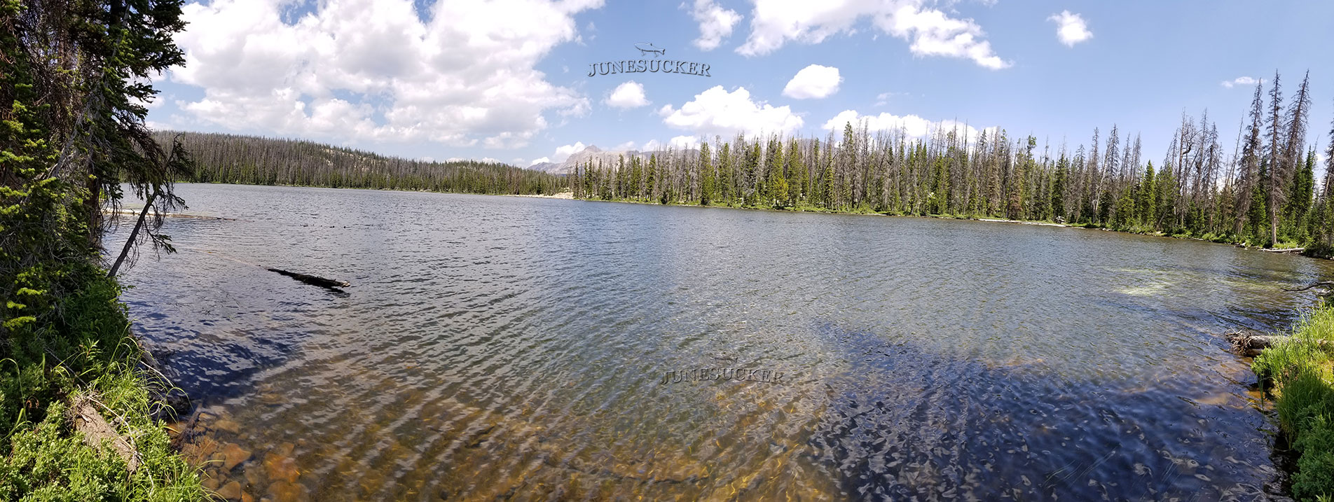
Hoover Lake also known as Z-10 is located in the northwest corner of Duchesne County, Utah. The lake is part of the Uinta-Wasatch-Cache Natinal Forest. Hoover Lake is part of the Duchesne Drainage of the Uintas. From the Mirror Lake Highway take the Murdock Basin Road and follow it about 8.5 miles. When the road ends you have reached your destination. We highly recommend you take a 4 wheeler or a vehicle with a high ground clearance. If you follow the sign to the Marshall Lake turn, it will put you on the west side of Hoover Lake.
It is about a 480 foot hike to the lake from this side. Otherwise you can follow Murdock Basin Road to it's end. Then enter on the east side of the lake. When we last traveled here in August of 2017, several of the road signs were damaged or missing. So we recommend you take a GPS.
Fish Species
Brook Trout are stocked here every few years.
Historical DWR Info
Hoover is a natural lake surrounded by conifers with several areas of open shoreline. It is 18.6 acres, 9,900 feet in elevation, with 28 feet maximum depth. The major inlets originate from Shepard and Maba lakes. Several campsites are available, and there is a piped spring water source. Horse feed is limited. Access is 8 miles north and east of U-150 on the well-traveled Murdock Basin Road to the Hoover Lake turnoff. The lake is located 100 yards northwest of this point. Hoover Lake is managed for brook trout but it may also contain a few cutthroat trout. Fishing pressure is excessive.
Nearby Areas to Fish
From the northern tip of the lake Maba Lake is a very short hike. Shepard Lake is a short hike to the northeast. Marshall Lake is located just southeast of here. There are also several beaver ponds around the area which contain fish. Fehr Lake is located about 1 mile northeast of here. Other Lakes in the area include Echo, Pyramid, Gem, Joan, and Blizzard.