
Directions
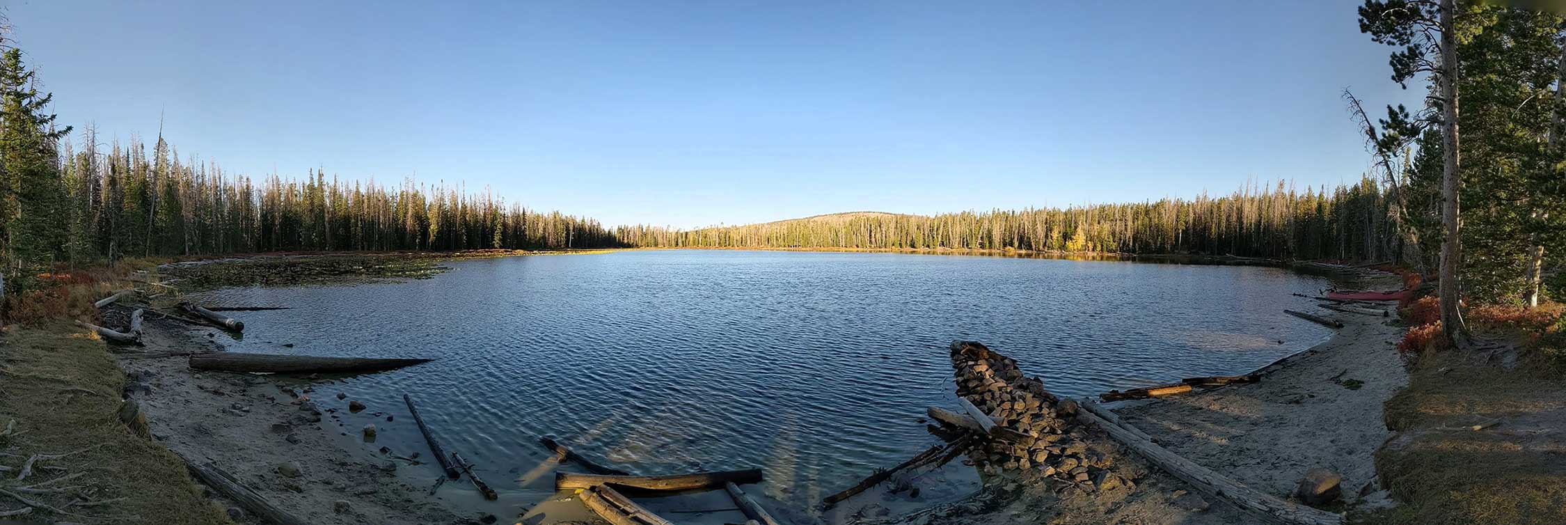
Alexander Lake is located in Summit County, Utah in the Uinta Mountains. The lake is part of the Uinta-Wasatch-Cache National Forest and is part of the Provo River Drainage. The lake is marked as A-1 on the UInta's lakes designation maps.
From the city of Kamas take the Mirror Lake highway UT-150 for 17.8 miles. Turn onto FR-041 which is across the street from the Duchesne Tunnel. Follow FR-041 for a little over 3 miles. If you have a high clearance vehicle you can take FR-946. I would not recommend taking a trailer past this point although you will see it happen every year. FR-496 becomes FR-938. You can follow this road right to the northeast shore, or take one of the FR-939 roads to the north shore.
From the south side of the lake you can take FR-941 right to the shore. I wouldn't recommend this route in a truck. A 4 wheeler would be best suited for this path.
You could also enter from the Trial Lake turn off and follow Spring Canyon - FR-41 to the FR-946 turnoff.
The Hike
For some reason All Trails has you hike in directly from FR-041. The route they recommend isn't a very well cut trail and takes you through some thick brush. I highly recommend not following their advice on this route. If you have a lower clearance vehicle and want to hike in you should turn onto FR-946, and hike in on the dirt road. This will make the hike in a bit longer but it will be so much easier to traverse that it should take the same amount of time.
Fish Species
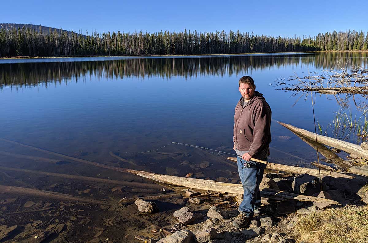
Fishing from the shore here can be difficult, and I recommend you use a canoe if possible. Brook trout are the only fish species stocked in the lake. The lake is typically stocked every other year.
2019 there was 1378 brook trout stocked at an average size of 2.68 inches.
2017 there was 2305 brook trout stocked at an average size of 2.29 inches.
2015 there was 2000 brook trout stocked at an average size of 2.5 inches.
2013 there was 2322 brook trout stocked at an average size of 2.61 inches.
Other info
The lake is listed in the book Utah Place Names by John W Van Cott. According to the book the namesake comes from an early explorer and settler. The book does not list who this early explorer or settler is. From my research I believe the lake was named after Quince Alexander. Quince was a settler in the area that later became the city of Francis.
DWR Historical Information
1999
ALEXANDER, A-1. Alexander is an aesthetic natural lake located in heavily timbered country with very little open shoreline. It is 23 acres, 9,360 feet in elevation, with 28 feet maximum depth. Access is 3 miles north on the Spring Canyon Road from Highway U -150 and then 1/4 mile southeast on a well-marked Forest Service trail. Several campsites are present along the northern lake margin, but spring water is unavailable. The fishery is sustained by aerial stocking of brook trout. Angling pressure is heavy, and litter is a problem around the lake.
1983
ALEXANDER, A-1. Alexander is an aesthetic natural lake located in heavily timbered country with very little open shoreline. It i s 23 acres, 9,360 feet in elevation, with 28 feet maximum depth. Access i s 3 miles north on the Spring Canyon Road from Highway U-150 and then 1/4 mile southeast on a well-marked Forest Service trail. Several campsites are present along the northern lake margin, but spring water is unavailable. The fishery is sustained by aerial stocking of brook trout. Angling pressure is heavy, and litter is a problem around the lake.
1964
ALEXANDER, A-l. 23 acres, elevation 9,300 feet, maximum depth 26 feet, average depth l5 1/2 feet. 4 miles north on Spring Creek Road. Posted trail for 1/2 mile southeast. Lying in heavy timber with partly open shores. Contains Eastern brook to 12 1/2 inches. Redside shiners present. Stocked. Better fishing later in season.
Nearby Places to Fish
Directions calculated from the fork of FR-041 and FR-946.
A-2 Lambert Meadow Lake . One mile south on FR-041. Then turn on FR-107 and head north for 1.7 miles.
A-44 Spectacle Lake. 1.5 miles north on FR-041 then a very simple 1/4 mile hike into the lake.
A-3 Buckeye Lake. 1.6 miles north on FR-041. Follow the signs to the West.
A-5 Blue Lake. Just before Buckeye take FR-531 up a steep rocky road.
A-41 Trident Lake. Head north FR-041 for 3.2 miles.
A-6 Beth Lake. Continue north of Trident Lake for 0.2 miles then take the turn for FR-961.
A-9 Haystack Lake. 0.7 miles north of Trident on FR-041. There is an old road you can follow in on foot.
A-10 Rock Lake. A 1/2 mile hike across giant boulder fields from Haystack lake.
A-11 Azure Lake. Next to Rock Lake. Surrounded by giant boulders up a steep hill.