Location
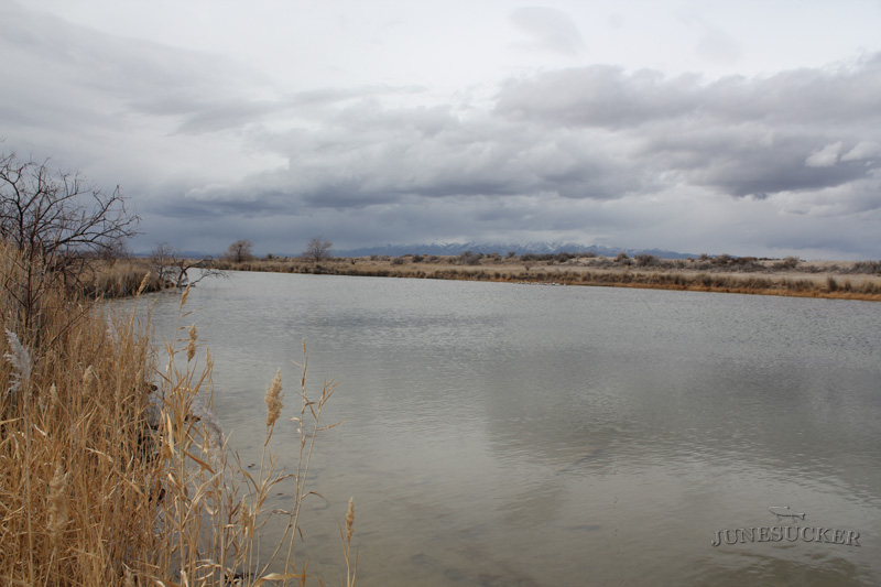
Locomotive springs is located in Boxelder County, Utah. Locomotive Springs is made up of Teal Spring, Bar M Spring, Baker Spring, Sparks Spring, and West Locomotive Spring.
Directions
The easiest way to get there is from the city of Snowville. From the the exit that has Flying J gas station take the frontage road on the opposite side of highway 84 (south side). Then turn on Locomotive Springs road and follow it for about 20 miles.
If you are coming from the Ogden/SLC area. Directions courtesy of thekilerbee on BFT. North on I-15, go past Brigham City. Take the 2nd exit after the 1100 So. Brigham City exit, this will be the exit that the signs say to take to Golden Spike Historical Monument. Head west. You'll drive through Corrinne. On the west end of Corrinne, the road Y's. Take the left road. Just follow the signs that direct you to Golden Spike. You'll drive west a ways, then as you get to the Thiokol area you'll need to take another left turn, once again follow the signs to Golden Spike. As you approach the monument the signs will direct you to take another left, do not take this road, just go straight (it changes to a dirt road here). Stay on this dirt road (it's a nice graded dirt road). You'll wind through the dry farms, then drop into the salt-flat area, just keep heading west. This main dirt road will come to a T, take a left and head south, Locomotive Springs is only a mile or so down this road.
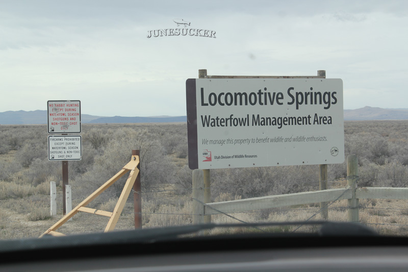
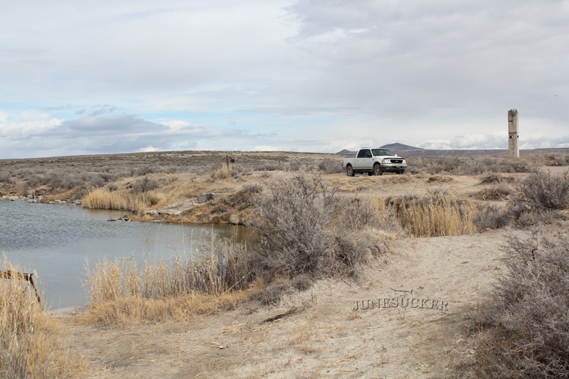
You'll know you are there when you pass a large sign that says Locomotive Springs WMA.The first pond you come to is Baker Springs. Back in the day this pond used to be mostly carp. Now there is a good amount of rainbow trout in it. If you follow the road back to the east about a half mile you will hit the second pond Bar M Springs. This pond has a good amount of rainbow trout and carp.
When we were here in early 2016 the DNR officer told us they used to stock teal pond but because the water level is so low it is winter killing the fish.
History
Locomotive Springs was purchased by the state in 1931, for $32,00. The 13,000 acre property had a 3 fold plan. 1. self liquidation by the sales of muskrat skins. The springs were a prolific source of muskrat. 2. A 10,000 acre mallard duck refuge. The waters of the springs never freeze. This is ideal since the mallards never migrate south like other species. 3. A bass fishery within the 3,000 acres of water. Several thousand large mouth bass were first planted in 1931.
In 1934, CWA contractors completed a canal system linking the 5 lakes. The construction of the dike took 20 car loads of lumber.
In 1934, an earthquake in the area caused several new springs to open. As well as a few springs dry up. The quake caused several boulders to run down hills and fissures to open in the earth. Over 100 tremors were felt in the area. The water in the springs turned black after the quake and then cleared up after a couple of days.
Fish Species
Rainbow Trout, Least Chub, and Carp.
Nearby Areas to Fish
Great Salt Lake, Willard Bay, Holmes Creek, Etna Reservoir, Lynn Reservoir, Warm Spring Reservoir, Death Creek Reservoir, Rose Ranch Reservoir, Blue Creek Reservoir, Cutler Reservoir, Mantua Reservoir, Pineview Reservoir,


