Location
Burraston Ponds is located in Juab County, Utah. The ponds are a mile and a half south of Mona Reservoir. From the I-15 freeway take the Mona exit 233 for UT-54. Head west for one mile. Turn south on Old Hwy 91/North Main Street. Drive south for 1.8 miles. Then you will hit the turn off for Burraston Ponds. After you cross the railroad track you can take the second left to the main parking lot. You can also keep going to see the north side of the ponds.
Fish Species
Rainbow Trout, Carp, and Least Chub.
Other Info
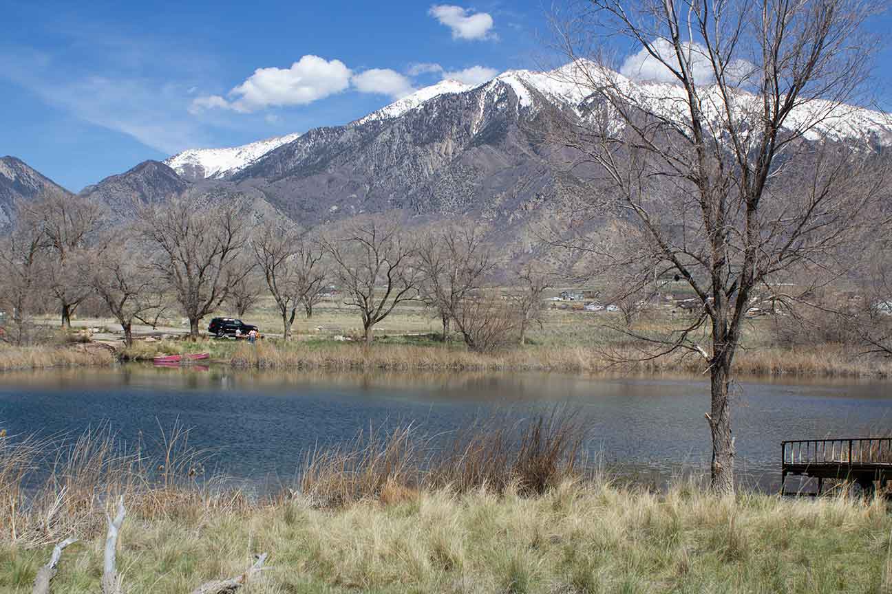
The Currant Creek river flows between here and Mona. So there it's possible that more than just Rainbow Trout are in here. Some site report there being Carp present. The ponds are filled by natural springs which make the water very clear. There is dirt road that runs around the ponds. There are also several camping areas around the ponds. The ponds are a popular destination for swimming, paddle boarding, and scuba diving. There are usually rope swings around the bank for swimmers to use. Also a popular destination for scout groups to canoe and kayak.
Fishing Regulations
Updated for the 2024 season. Burraston Ponds falls under the community pond fishing regulations of Utah. The daily limit is 2 fish. Common carp do not count towards the daily limit. Anglers are encouraged to voluntarily release all Largemouth Bass. Waters are open to fishing only when the community parks are open to the public. Possession or consumption of alcoholic beverages prohibited. Closed to OHV vehicles. Updated fishing reports on the DWR page.
- Fishing from a boat with a motor of any kind is prohibited.
History
Burraston Ponds was the campsite of the Escalante Expedition on September 27th 1776. From Santa Fe to the Utah Basin. Father Escalante mapped this area and named this spring "Ojo de San Pablo", or Eye of Saint Paul. The Great Indian chiefs before and during the Walker and Black Hawk Indian Wars used this campsite as a meeting place. They called it Punjun Spring and said it was without bottom and that it in the still of the evening a baby's cry could be heard from it's depths.
Richard James Burraston and his wife Emma Price were called to settle this area in 1865. They were to protect the mail route. The had a private livestock under the Burraston brand. They managed a large cattle operation for the Church of Jesus Christ of Latter-day Saints. In 1878, over 1,000 head of cattle, taken from this ranch, provided funding for the Mormon Church's purchase of what is now Snowflake and St. Johns, Arizona. IN 1879, railroad ties from Mount Nebo timber were used for the building of the Utah Southern Railroad. In 1901, this pond site was gifted to the State of Utah by Mr. Burraston to commemorate its statehood and for the enjoyment of the people.
Nearby Areas to Fish
Mona Reservoir, Pole Canyon Pond, Goshen Reservoir, Spring Lake, Utah Lake, Salem Pond, Spanish Oaks Reservoir, Canyon View Park Pond, and Yuba Reservoir.