
Location
Bee Tree is located in Sanpete County, Utah and is part of the Manti-La Sal National Forest.
From the city of Mayfield take 12 mile Canyon Forest Road 0022 for 14.5 miles. Just before the turn to Six Mile Canyon take Forest Road 1170. Follow FR 1170 westward until the fork. At the Fork take the road on the right which is Forest Road 1243. From this spot the road is a ATV or UTV road only. It's rated as a 60" ATV trail but if you have one slightly bigger than that it should fit. Forest Road 1243 can be kind of rough but is a very beautiful scenic road. From the fork you will take FR 1243 for about 1.8 miles. There is no sign for Bee Tree but there are a couple of dirt roads that split off to it. I can't remember for certain but I don't believe you can see Bee tree from Forest Road 1243 so you will need a GPS of some type.
Fish Species
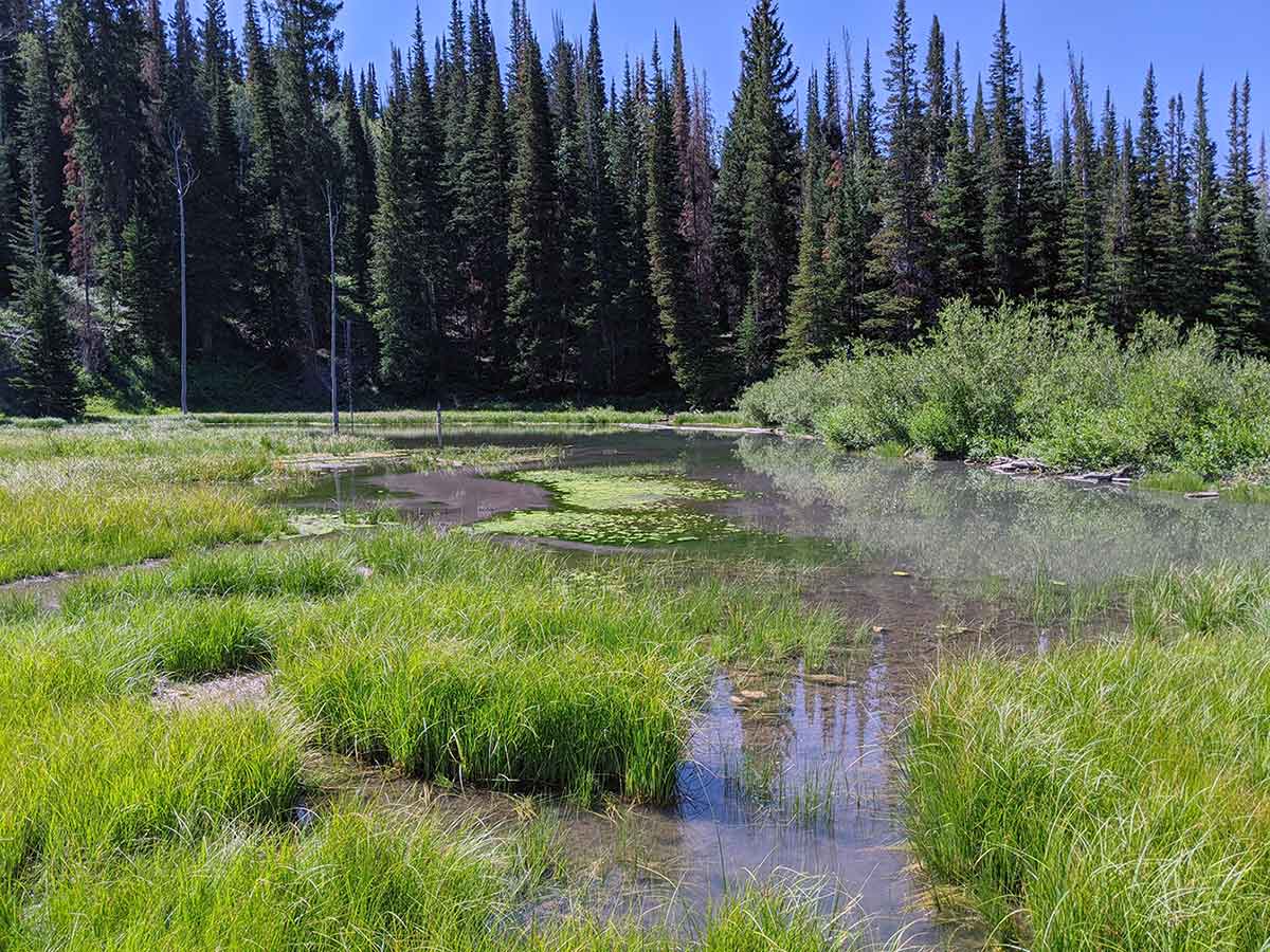
On average Bee Tree is stocked with 250 to 300 brook trout a year. This pond can be difficult to fish because of the marshes surrounding the deeper areas. When I was last here in 2020 I did see several fish surface to eat flies. You will probably need to get your feet wet to catch one of these beautiful trout.
Nearby Areas to Fish
The log Ponds are located very close maybe 2/10 of a mile south on Forest Road 1243. From the map Bee Tree looks like a bigger pond but in person the Log Ponds looked much bigger and were easier to access for fishing. The Blue Ribbon Pond's access is 1 mile north on Forest Road 1243. The WPA Ponds are located 1.4 miles south on Forest Road 1243. You should be able to see the dam for upper WPA from the road. There is no sign for WPA. Deep Lake is 0.7 miles south of WPA on Forest Road 1243. Deep Lake is easy to see and there is good signage. West Deep Ponds is a short hike from Deep Lake. If in the area you should also check out Shingle Mill Reservoir.