
Directions
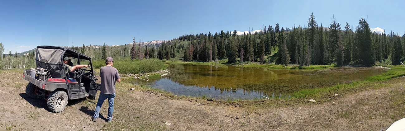
Log Pond also known as Log Pond #1 is located in Sanpete County, Utah and is part of the Manti-La Sal National Forest.
From Mayfield Utah take Forest Road 0022 up Twelve Mile Canyon for around 14 miles. Just before the drop in to Six Mile Canyon turn onto Forest Road 1170. Follow FR 1170 for 1.4 miles and keep to the right at the first fork. At the second fork the road divides between FR 1243 and FR 0024. You will need to veer right onto FR 1243 which is a UTV/ATV road only. There isn't a gate so you can take a ATV of any size. The road can be rough although it leads to some beautiful views. You will follow FR 1243 for 2 miles. Log Pond is on the east side of the road. There is no signs posted. I highly recommend taking a GPS.
Fish Species
Log Pond #1 is stocked with around 200 brook trout a year. The planted fish size averages around 3 inches. Smallmouth bass also appeared in thier survey in big numbers. Most of the bass captured were young fish born last year. This new year-class of bass should provide East Canyon with the influx of bass the reservoir needed!
Nearby Areas to Fish
Bee Tree is located about 400 feet to the north. Upper WPA Pond is located 1.2 miles south on FR 1243. You should be able to see the dirt fill dam for WPA from the road. There is also a small stream that runs from WPA called Cooley Creek, that passes through the road. Lower WPA Pond is located 0.2 miles south of Upper WPA on FR 1243. Deep Lake is located 2 miles south on FR 1243. You can access West Deep Pond by a short hike from Deep Lake to the west. Continue down the road for 1.2 miles past deep lake to access Shingle Mill Reservoir. Other nearby lakes include Riches Pond and Ambers Muddy Pond.